GUTSCHEIN
Bitte haben Sie einen Moment Geduld, wir legen Ihr Produkt in den Warenkorb.
Diese Produkte könnten Sie auch interessieren:
Bitte haben Sie einen Moment Geduld, wir legen Ihr Produkt in den Warenkorb.
| Reihe | A -Z Adventure Series |
|---|---|
| Themen | Geowissenschaften, Geographie, Umwelt, Planung Geographie Geographische Nachschlagewerke Welt-/ Regionalatlanten oder Karten |
| ISBN | 9780008744205 |
| Sprache | Englisch |
| Erscheinungsdatum | 27.03.2025 |
| Größe | 233 x 129 mm |
| Verlag | HarperCollins Publishers |
| Lieferzeit | Lieferung innerhalb von 28 Werktagen |
| Herstellerangaben | Anzeigen Product Safety Manager enquiries@harpercollins.ie |
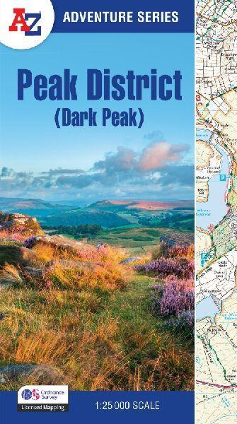
The A-Z Adventure Series uses Ordnance Survey mapping and is the perfect companion for walkers, off-road cyclists, and anyone wishing to explore the great outdoors.This A-Z Adventure Atlas of the Peak District (Dark Peak)features 50 pages of continuous Ordnance Survey mapping covering:- Peak District National Park (northern part)- Kinder Scout- Hope Valley- Hathersage- Castleton- Snake Pass- Derwent ValleyThis National Trail Map features detailed mapping at a scale of 1:25 000, providing complete coverage of the Peak District (Dark Peak). Additional features include:- Information Centres- Hotels/B&Bs- Youth Hostels- Campsites (seasonal opening)- Public Houses- Shops- Restaurants- Cafes (seasonal opening)- Petrol StationsOther books available in the A-Z Adventure series include: Pembrokeshire Coast Path, Peddars Way and Norfolk Coast Path, South Downs Way, Cotswold Way, South West Coast Path and The North Coast 500.
| Reihe | A -Z Adventure Series |
|---|---|
| Themen | Geowissenschaften, Geographie, Umwelt, Planung Geographie Geographische Nachschlagewerke Welt-/ Regionalatlanten oder Karten |
| ISBN | 9780008744205 |
| Sprache | Englisch |
| Erscheinungsdatum | 27.03.2025 |
| Größe | 233 x 129 mm |
| Verlag | HarperCollins Publishers |
| Lieferzeit | Lieferung innerhalb von 28 Werktagen |
| Herstellerangaben | Anzeigen Product Safety Manager enquiries@harpercollins.ie |
Wie gefällt Ihnen unser Shop?
