GUTSCHEIN
Bitte haben Sie einen Moment Geduld, wir legen Ihr Produkt in den Warenkorb.
Diese Produkte könnten Sie auch interessieren:
Bitte haben Sie einen Moment Geduld, wir legen Ihr Produkt in den Warenkorb.
| Themen | Geowissenschaften, Geographie, Umwelt, Planung Geographie Kartographie, Kartierung |
|---|---|
| ISBN | 9780367712709 |
| Sprache | Englisch |
| Erscheinungsdatum | 18.08.2022 |
| Größe | 216 x 287 mm |
| Verlag | Taylor & Francis Ltd |
| Lieferzeit | Lieferung innerhalb von 28 Werktagen |
| Herstellerangaben | Anzeigen Libri GmbH Europaallee 1 | D-36244 Bad Hersfeld gpsr@libri.de |
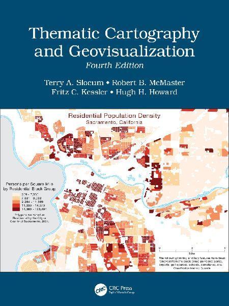
This comprehensive and well-established cartography textbook covers the theory and the practical applications of map design and the appropriate use of map elements. It explains the basic methods for visualizing and analyzing spatial data and introduces the latest cutting-edge data visualization techniques. The fourth edition responds to the extensive developments in cartography and GIS in the last decade, including the continued evolution of the Internet and Web 2.0; the need to analyze and visualize large data sets (commonly referred to as Big Data); the changes in computer hardware (e.g., the evolution of hardware for virtual environments and augmented reality); and novel applications of technology. Key Features of the Fourth Edition: - Includes more than 400 color illustrations and it is available in both print and eBook formats. - A new chapter on Geovisual Analytics and individual chapters have now been dedicated to Map Elements, Typography, Proportional Symbol Mapping, Dot Mapping, Cartograms, and Flow Mapping. - Extensive revisions have been made to the chapters on Principles of Color, Dasymetric Mapping, Visualizing Terrain, Map Animation, Visualizing Uncertainty, and Virtual Environments/Augmented Reality. - All chapters include Learning Objectives and Study Questions. - Provides more than 250 web links to online content, over 730 references to scholarly materials, and additional 540 references available for Further Reading. There is ample material for either a one or two-semester course in thematic cartography and geovisualization. This textbook provides undergraduate and graduate students in geoscience, geography, and environmental sciences with the most valuable up-to-date learning resource available in the cartographic field. It is a great resource for professionals and experts using GIS and Cartography and for organizations and policy makers involved in mapping projects.
| Themen | Geowissenschaften, Geographie, Umwelt, Planung Geographie Kartographie, Kartierung |
|---|---|
| ISBN | 9780367712709 |
| Sprache | Englisch |
| Erscheinungsdatum | 18.08.2022 |
| Größe | 216 x 287 mm |
| Verlag | Taylor & Francis Ltd |
| Lieferzeit | Lieferung innerhalb von 28 Werktagen |
| Herstellerangaben | Anzeigen Libri GmbH Europaallee 1 | D-36244 Bad Hersfeld gpsr@libri.de |
Wie gefällt Ihnen unser Shop?