GUTSCHEIN
Bitte haben Sie einen Moment Geduld, wir legen Ihr Produkt in den Warenkorb.
Diese Produkte könnten Sie auch interessieren:
Bitte haben Sie einen Moment Geduld, wir legen Ihr Produkt in den Warenkorb.
| ISBN | 9781118159804 |
|---|---|
| Sprache | Englisch |
| Erscheinungsdatum | 15.04.2013 |
| Größe | 233 x 192 mm |
| Verlag | Wiley |
| Lieferzeit | Lieferung innerhalb von 28 Werktagen |
| Herstellerangaben | Anzeigen Boschstrasse 12 | DE-69469 Weinheim product_safety@wiley.com |
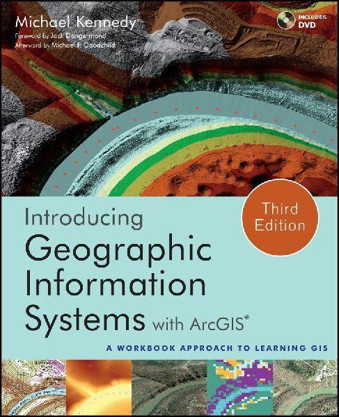
An integrated approach that combines essential GIS background with a practical workbook on applying the principles in ArcGIS 10.0 and 10.1 Introducing Geographic Information Systems with ArcGISintegrates a broad introduction to GIS with a software-specific workbook for Esri's ArcGIS. Where most courses make do using two separate texts, one covering GIS and another the software, this book enables students and instructors to use a single text with an integrated approach covering both in one volume with a common vocabulary and instructional style. This revised edition focuses on the latest software updates-ArcGIS 10.0 and 10.1. In addition to its already successful coverage, the book allows students to experience publishing maps on the Internet through new exercises, and introduces the idea of programming in the language Esri has chosen for applications (i.e., Python). A DVD is packaged with the book, as in prior editions, containing data for working out all of the exercises. This complete, user-friendly coursebook: - Is updated for the latest ArcGIS releases-ArcGIS 10.0 and 10.1 - Introduces the central concepts of GIS and topics needed to understand spatial information analysis - Provides a considerable ability to operate important tools in ArcGIS - Demonstrates new capabilities of ArcGIS 10.0 and 10.1 - Provides a basis for the advanced study of GIS and the study of the newly emerging field of GIScience Introducing Geographic Information Systems with ArcGIS, Third Edition is the ideal guide for undergraduate students taking courses such as Introduction to GIS, Fundamentals of GIS, and Introduction to ArcGIS Desktop. It is also an important guide for professionals looking to update their skills for ArcGIS 10.0 and 10.1.
| ISBN | 9781118159804 |
|---|---|
| Sprache | Englisch |
| Erscheinungsdatum | 15.04.2013 |
| Größe | 233 x 192 mm |
| Verlag | Wiley |
| Lieferzeit | Lieferung innerhalb von 28 Werktagen |
| Herstellerangaben | Anzeigen Boschstrasse 12 | DE-69469 Weinheim product_safety@wiley.com |
Wie gefällt Ihnen unser Shop?
