GUTSCHEIN
Bitte haben Sie einen Moment Geduld, wir legen Ihr Produkt in den Warenkorb.
Diese Produkte könnten Sie auch interessieren:
Bitte haben Sie einen Moment Geduld, wir legen Ihr Produkt in den Warenkorb.
| ISBN | 9781119673835 |
|---|---|
| Sprache | Englisch |
| Erscheinungsdatum | 29.04.2024 |
| Größe | 228 x 148 mm |
| Verlag | Wiley |
| Lieferzeit | Lieferung innerhalb von 28 Werktagen |
| Herstellerangaben | Anzeigen Boschstrasse 12 | DE-69469 Weinheim product_safety@wiley.com |
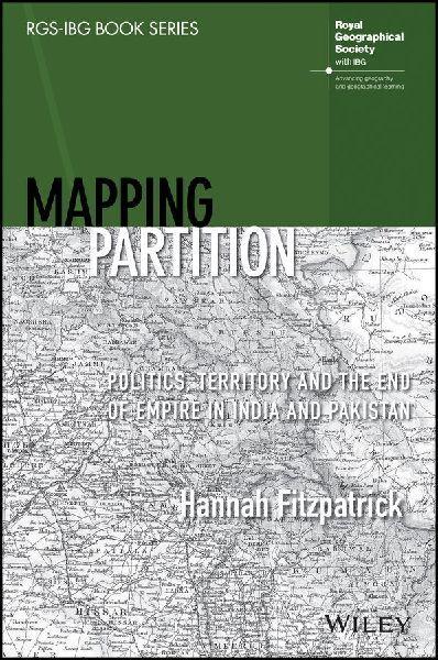
MAPPING PARTITION "A hugely productive partnership between geography and history, 'Mapping Partition' does a great service to the field of Partition studies - it leaves us in no doubt about both the long-term cartographical processes that contributed to how South Asia was divided in 1947, and the importance of bringing a geographer's insights to bear on this complex history of boundary making." Professor Sarah Ansari, Professor of History (South Asia), Royal Holloway University of London "Fitzpatrick produces spatial readings of partition's knowledge formations, geopolitical imaginaries, administrative cartography, and legal geographical expertise. These enrich the histories and geographies of partition through painstaking archival, textual, and visual analysis which will resonate far beyond historical geography and South Asian studies." Professor Stephen Legg, Professor of Historical Geography, University of Nottingham Mapping Partition delivers the first in-depth geographical account of the partition of India and Pakistan in 1947. The book explores the impact of colonial geography and geographers on the boundary, both during the partition process and in the period preceding it. Drawing on extensive archival research, Hannah Fitzpatrick argues that colonial geographical knowledge underpinned the partition process in heretofore unacknowledged ways. The author also discusses the consequences of placing different ethnic, communal, and linguistic groups onto the colonial map and the growing importance of majority and minority populations in representative democratic politics. Mapping Partition: Politics, Territory and the End of Empire in India and Pakistan is required reading for students and researchers studying geography, colonial and imperial history, South Asian studies, and interdisciplinary border studies.
| ISBN | 9781119673835 |
|---|---|
| Sprache | Englisch |
| Erscheinungsdatum | 29.04.2024 |
| Größe | 228 x 148 mm |
| Verlag | Wiley |
| Lieferzeit | Lieferung innerhalb von 28 Werktagen |
| Herstellerangaben | Anzeigen Boschstrasse 12 | DE-69469 Weinheim product_safety@wiley.com |
Wie gefällt Ihnen unser Shop?
