GUTSCHEIN
Bitte haben Sie einen Moment Geduld, wir legen Ihr Produkt in den Warenkorb.
Diese Produkte könnten Sie auch interessieren:
Bitte haben Sie einen Moment Geduld, wir legen Ihr Produkt in den Warenkorb.
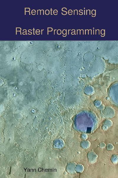
``How can I load input satellite imagery, compute an input raster into a given result and write that result as a new image to the hard disk''. This book gives a range of programming options to answer this question, using high-level and low-level programming languages, some serial (C, Python, R) but also some in parallel (OpenMP, MPI-C, CUDA, OpenCL). Additionally, it also demonstrates how to perform various levels of integrations into few programming languages and environments having GUI functionality (WxPython and GRASS GIS).
Wie gefällt Ihnen unser Shop?