GUTSCHEIN
Bitte haben Sie einen Moment Geduld, wir legen Ihr Produkt in den Warenkorb.
Diese Produkte könnten Sie auch interessieren:
Auch verfügbar als:
Bitte haben Sie einen Moment Geduld, wir legen Ihr Produkt in den Warenkorb.
| Reihe | NATO Science for Peace and Security Series C: Environmental Security |
|---|---|
| Themen | Geowissenschaften, Geographie, Umwelt, Planung Geographie Physische Geographie und Topographie |
| ISBN | 9781402089350 |
| Sprache | Englisch |
| Erscheinungsdatum | 27.11.2008 |
| Größe | 23.5 x 15.5 cm |
| Verlag | Springer Netherland |
| Herausgegeben von | Alberto Marini, Mohamed Talbi |
| Lieferzeit | Lieferung in 7-14 Werktagen |
| Herstellerangaben | Anzeigen Springer Nature Customer Service Center GmbH Europaplatz 3 | DE-69115 Heidelberg ProductSafety@springernature.com |
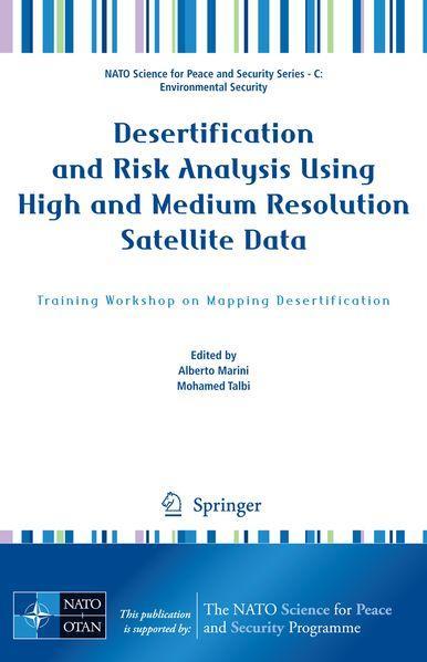
This work becomes with methodological rigor a part of the innovative proposals for the characterization of the areas at risk of desertification. The complexity of the phenomenon of desertification, which involves extended surfaces in all continents, is one of the most alarming processes of the environmental degradation of our Planet and threatens the health and the living conditions of over a billion of persons. The food crisis, in continuous increase, ask for the world of research to urgently supply reassuring solutions concerning the acquisition of indicators, which are easy to monitor and concur to control the phenomenon in order to fight its acceleration. The constant but different combination that determines the diffusion of deserti- cation in the territories, attributable mostly to climatic changes and the activities of the man, makes our job challenging and complicated, since it varies from region to region. We are aware of all this and therefore we think that the methodological approach of survey of the data is an extremely important element to locate of the phenomenon and to monitor its course. This work, which is characterized for its multi-disciplinary approach, suggests solutions that we wish will quickly find concrete applications at international level. Prof. Bruno Dettori President CNLSD (Comitato Nazionale per la Lotta alla Siccità e alla Desertificazione) v
| Reihe | NATO Science for Peace and Security Series C: Environmental Security |
|---|---|
| Themen | Geowissenschaften, Geographie, Umwelt, Planung Geographie Physische Geographie und Topographie |
| ISBN | 9781402089350 |
| Sprache | Englisch |
| Erscheinungsdatum | 27.11.2008 |
| Größe | 23.5 x 15.5 cm |
| Verlag | Springer Netherland |
| Herausgegeben von | Alberto Marini, Mohamed Talbi |
| Lieferzeit | Lieferung in 7-14 Werktagen |
| Herstellerangaben | Anzeigen Springer Nature Customer Service Center GmbH Europaplatz 3 | DE-69115 Heidelberg ProductSafety@springernature.com |
Wie gefällt Ihnen unser Shop?
