GUTSCHEIN
Bitte haben Sie einen Moment Geduld, wir legen Ihr Produkt in den Warenkorb.
Diese Produkte könnten Sie auch interessieren:
Bitte haben Sie einen Moment Geduld, wir legen Ihr Produkt in den Warenkorb.
| ISBN | 9781566954112 |
|---|---|
| Sprache | Englisch |
| Erscheinungsdatum | 01.01.2019 |
| Größe | 235 x 108 mm |
| Verlag | National Geographic Maps |
| Lieferzeit | Lieferung innerhalb von 28 Werktagen |
| Herstellerangaben | Anzeigen Libri GmbH Europaallee 1 | D-36244 Bad Hersfeld gpsr@libri.de |
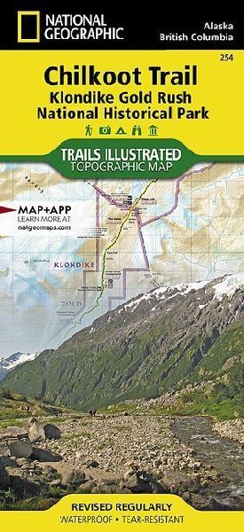
- Waterproof - Tear-Resistant - Topographic MapNational Geographic's Trails Illustrated map for Chilkoot Trail in Klondike Gold Rush National Historic Park in the Alaskan panhandle is perfect for hiking, camping, and wildlife viewing in this scenic, rugged frontier. Created in partnership with local land management agencies, this expertly researched map features key areas of interest including Chilkoot Trail National Historic Site; portions of the Klondike Highway; Happy Camp; Taiya Inlet; the town of Skagway; Klondike Gold Rush National Historical Park; Skagway River; Dyea; and Deep, Bennett, Crater, Long, and Lindeman lakes.- The print map includes insets of historic routes to the Klondike gold fields, Historic Dyea, and Skagway Historic District with some of the prominent gold rush-era buildings noted.- There is a great deal of helpful material about traveling in the area, customs, permits and fees, safety tips, agency contact information, a suggested equipment list, and more.- A trail profile of Chilkoot Trail is included as well.- A table of featured hiking trails showing distance, approximate hiking time, elevation gain, difficulty, and features will help you choose a path that's right for you.The map base includes contour lines, shaded relief, and elevations for summits, passes and many lakes. Recreation features are clearly marked, including campgrounds, public use cabins, cross country ski and snowshoeing areas, interpretive areas, and scenic viewpoints.Every Trails Illustrated map is printed on "Backcountry Tough" waterproof, tear-resistant paper. A full UTM grid is printed on the map to aid with GPS navigation.Other features found on this map include: Glacier (historical), Klondike Gold Rush National Historical Park, Mount Foster, Skagway.- Map Scale = 1:63,360- Sheet Size = 25.75" x 38"- Folded Size = 4.25" x 9.25"
| ISBN | 9781566954112 |
|---|---|
| Sprache | Englisch |
| Erscheinungsdatum | 01.01.2019 |
| Größe | 235 x 108 mm |
| Verlag | National Geographic Maps |
| Lieferzeit | Lieferung innerhalb von 28 Werktagen |
| Herstellerangaben | Anzeigen Libri GmbH Europaallee 1 | D-36244 Bad Hersfeld gpsr@libri.de |
Wie gefällt Ihnen unser Shop?
