GUTSCHEIN
Bitte haben Sie einen Moment Geduld, wir legen Ihr Produkt in den Warenkorb.
Diese Produkte könnten Sie auch interessieren:
Bitte haben Sie einen Moment Geduld, wir legen Ihr Produkt in den Warenkorb.
| ISBN | 9781566954228 |
|---|---|
| Sprache | Englisch |
| Erscheinungsdatum | 01.01.2020 |
| Größe | 231 x 108 mm |
| Verlag | National Geographic Maps |
| Lieferzeit | Lieferung innerhalb von 28 Werktagen |
| Herstellerangaben | Anzeigen Libri GmbH Europaallee 1 | D-36244 Bad Hersfeld gpsr@libri.de |
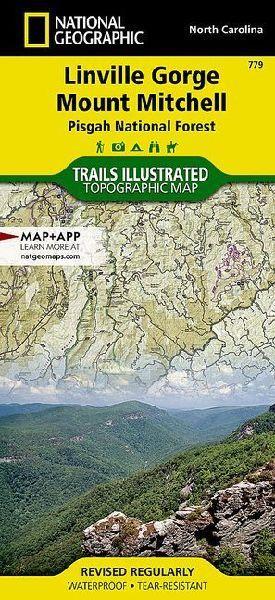
- Waterproof - Tear-Resistant - Topographic MapExpertly researched and created in partnership with local land management agencies, National Geographic's Trails Illustrated map of Linville Gorge and Mount Mitchell provides an unparalleled tool for exploring these remarkable features within Pisgah National Forest. This map includes such key areas of interest as Linville Gorge Wilderness, Mount Mitchell State Park, Craggy Gardens, Grandfather Mountain Biosphere Reserve, Lake James State Park, and Brown Mountain OHV Area.- Whether you're exploring on foot, or by horse, bike, or motorized vehicle, you'll find this map an invaluable resource for exploring the miles of mapped trails and roadways within the region, including the Appalachian National Scenic Trail, Mountains-to-Sea Trail, and Blue Ridge Parkway.- An extensive chart with the location, mileage, rating, and designated use for dozens of trails and a handy activity guide will help you make the most of your visit.Recreation features are clearly marked, including campgrounds, points of interest, lookout towers, museums, and fishing and swimming areas. The map base includes contour lines and elevations for summits and passes.Every Trails Illustrated map is printed on "Backcountry Tough" waterproof, tear-resistant paper. A full UTM grid is printed on the map to aid with GPS navigation.Other features found on this map include: Avery County, Bakersville, Bald Creek, Big Tom, Black Mountain, Blue Ridge, Burke County, Burnsville, Celo, Collettsville, Dillingham, Drexel, Glen Alpine, Glenwood, Grandfather Mountain, Hawksbill Mountain, Iowa Hill, Lake James, Ledger, Linville, Marion, McDowell County, Micaville, Mitchell County, Morganton, Mount Craig, Mount Mitchell, Newland, Old Fort, Pisgah National Forest, South Mountains, Spear, Spruce Pine, Swannanoa, Woodlawn, Yancey County.- Map Scale = 1:65,000- Sheet Size = 25.5" x 37.75"- Folded Size = 4.25" x 9.25"
| ISBN | 9781566954228 |
|---|---|
| Sprache | Englisch |
| Erscheinungsdatum | 01.01.2020 |
| Größe | 231 x 108 mm |
| Verlag | National Geographic Maps |
| Lieferzeit | Lieferung innerhalb von 28 Werktagen |
| Herstellerangaben | Anzeigen Libri GmbH Europaallee 1 | D-36244 Bad Hersfeld gpsr@libri.de |
Wie gefällt Ihnen unser Shop?
