GUTSCHEIN
Bitte haben Sie einen Moment Geduld, wir legen Ihr Produkt in den Warenkorb.
Diese Produkte könnten Sie auch interessieren:
Bitte haben Sie einen Moment Geduld, wir legen Ihr Produkt in den Warenkorb.
| ISBN | 9781566955775 |
|---|---|
| Sprache | Englisch |
| Erscheinungsdatum | 01.01.2020 |
| Größe | 233 x 108 mm |
| Verlag | National Geographic Maps |
| Lieferzeit | Lieferung in 2-5 Werktagen |
| Herstellerangaben | Anzeigen Libri GmbH Europaallee 1 | D-36244 Bad Hersfeld gpsr@libri.de |
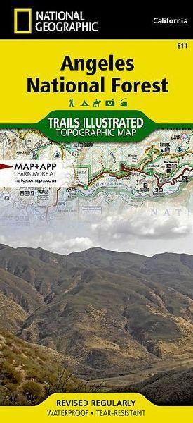
- Waterproof - Tear-Resistant - Topographic MapNational Geographic's Trails Illustrated map of Angeles National Forest provides both unmatched detail and valuable information for outdoor enthusiasts enjoying this diverse recreational area just north of Los Angeles. Expertly researched and created in partnership with the U.S. Forest Service, California State Parks and others, this map features key points of interest in the forest including Magic Mountain, Pleasant View Ridge, San Gabriel, Cucamonga and Sheep Mountain Wilderness Areas; San Gabriel Mountains; Pyramid Lake; and Piru Creek Wild and Scenic River.- Also included are nearby California State Parks: Antelope Valley California Poppy Reserve, Ripley Desert Woodland, Castaic Lake State Recreation Area, Hungry Valley State Vehicular Recreation Area and Placerita Canyon.- Get off the beaten path and back on again by following the map along precisely mapped trails, labeled with mileage markers and color-coded according to designated use, whether hiking, mountain biking, ATVing or horseback riding.- Highlighted are the nearly 200 miles of Pacific Crest Trail that wind through the area.Your navigation will be aided by the map's contour lines, elevations, labeled peaks and canyons, water features, and clear boundaries between national forest, wilderness and private land. Hundreds of recreation features are marked including areas for camping, fishing, swimming, climbing, canoeing, motor boating, skiing and winter recreation.Every Trails Illustrated map is printed on "Backcountry Tough" waterproof, tear-resistant paper. A full UTM grid is printed on the map to aid with GPS navigation.Other features found on this map include: Acton, Altadena, Angeles National Forest, Arcadia, Azusa, Big Dalton Reservoir, Big Tujunga Canyon, Big Tujunga Reservoir, Bouquet Reservoir, Burbank, Castaic Lake, Chatsworth Reservoir, Cogswell Reservoir, Devils Gate Reservoir, Duarte, Elizabeth Lake Ranch (historical), Glendale, Glendora, La Crescenta, Lake Hughes, Lake Piru, Littlerock, Los Angeles County, Mint Canyon, Monrovia, Montrose, Morris Reservoir, Mount Baldy, Mount San Antonio, Mount Wilson, Newhall, Palmdale, Pasadena, Pearblossom, Piru, Piru Creek, Pyramid Lake, San Antonio Heights, San Dimas Reservoir, San Fernando, San Fernando Valley, San Gabriel Mountains, San Gabriel Reservoir, Santa Susana, Santa Susana Mountains, Saugus, Sierra Madre, Simi Valley, Soledad Canyon, Upper Van Norman Lake, West Fork San Gabriel River, Wrightwood.- Map Scale = 1:80,000- Sheet Size = 25.5" x 37.75"- Folded Size = 4.25" x 9.25"
| ISBN | 9781566955775 |
|---|---|
| Sprache | Englisch |
| Erscheinungsdatum | 01.01.2020 |
| Größe | 233 x 108 mm |
| Verlag | National Geographic Maps |
| Lieferzeit | Lieferung in 2-5 Werktagen |
| Herstellerangaben | Anzeigen Libri GmbH Europaallee 1 | D-36244 Bad Hersfeld gpsr@libri.de |
Wie gefällt Ihnen unser Shop?
