GUTSCHEIN
Bitte haben Sie einen Moment Geduld, wir legen Ihr Produkt in den Warenkorb.
Diese Produkte könnten Sie auch interessieren:
Bitte haben Sie einen Moment Geduld, wir legen Ihr Produkt in den Warenkorb.
| ISBN | 9781566956710 |
|---|---|
| Sprache | Englisch |
| Erscheinungsdatum | 01.01.2026 |
| Größe | 236 x 110 mm |
| Verlag | National Geographic Maps |
| Lieferzeit | Lieferung innerhalb von 28 Werktagen |
| Herstellerangaben | Anzeigen Libri GmbH Europaallee 1 | D-36244 Bad Hersfeld gpsr@libri.de |
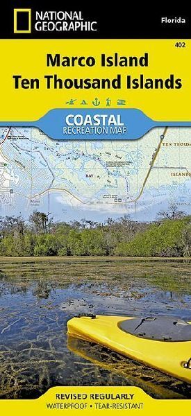
- Waterproof - Tear-Resistant - Topographic MapLet National Geographic's Coastal Recreation map of Marco Island and Ten Thousand Islands guide you, both on land and on water, in this popular recreation area just outside of the Everglades National Park. This expertly researched map delivers unparalleled detail of recreation hotspots such as Rookery Bay National Estuarine Research Reserve, Marco Island and Beach, Ten Thousand Islands National Wildlife Refuge, Seminole and Fakahatchee Strand Preserve State Parks, Chokoloskee Bay, Cape Romano Shoals the northern extent of the Everglades NP and Marjory Stoneman Douglas Wilderness, and Gulf of Mexico, as well as a complete road network from East Naples to Everglades City.- Pursue your recreational passion by following along mapped trails for hiking, biking and paddling, including segments of the Florida Circumnavigational Saltwater Paddling Trail and Wilderness Waterway Trail.- Other recreation features pinpointed include campgrounds, RV campgrounds, boat launches, beaches, golf courses, dive sites and areas for canoe carry downs, picnicking, swimming and wildlife viewing.- A marina guide provides location, contact information, maximum boat sizes and various amenities.Some additional marine aids are day beacons, lights, buoys and sounding. Also provided are QR codes for current weather information and U.S. Coast Guard updates as well as background information of the area, boating safety tips and essential contact information.Every Trails Illustrated map is printed on "Backcountry Tough" waterproof, tear-resistant paper. A full UTM grid is printed on the map to aid with GPS navigation.Other features found on this map include: Cape Romano, Chokoloskee, Copeland, Everglades City, Gullivan Bay, Jerome, Marco, Marco Island, Ochopee, Ten Thousand Islands.- Map Scale = 1:40,000- Sheet Size = 37.75" x 25.5"- Folded Size = 4.25" x 9.25"
| ISBN | 9781566956710 |
|---|---|
| Sprache | Englisch |
| Erscheinungsdatum | 01.01.2026 |
| Größe | 236 x 110 mm |
| Verlag | National Geographic Maps |
| Lieferzeit | Lieferung innerhalb von 28 Werktagen |
| Herstellerangaben | Anzeigen Libri GmbH Europaallee 1 | D-36244 Bad Hersfeld gpsr@libri.de |
Wie gefällt Ihnen unser Shop?
