GUTSCHEIN
Bitte haben Sie einen Moment Geduld, wir legen Ihr Produkt in den Warenkorb.
Diese Produkte könnten Sie auch interessieren:
Bitte haben Sie einen Moment Geduld, wir legen Ihr Produkt in den Warenkorb.
| Themen | Technologie, Ingenieurswissenschaft, Landwirtschaft, Industrieprozesse Bauingenieur-, Vermessungs- und Bauwesen Hochbau und Baustoffe Brandschutz und -sicherheit |
|---|---|
| ISBN | 9781589487703 |
| Sprache | Englisch |
| Erscheinungsdatum | 05.03.2024 |
| Größe | 201 x 137 mm |
| Verlag | Esri Press |
| Herausgegeben von | Matt Artz, Matt Ball, Anthony Schultz |
| Lieferzeit | Lieferung innerhalb von 28 Werktagen |
| Herstellerangaben | Anzeigen Libri GmbH Europaallee 1 | D-36244 Bad Hersfeld gpsr@libri.de |
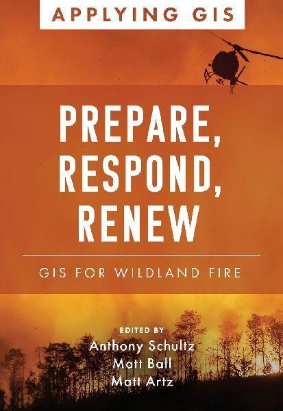
Discover a geographic approach to resilience strategies for wildland fire. Wildfires claim lives, destroy structures, and devastate communities and landscapes. The increasing areas where development meets nature-and more days of hot and dry weather- have magnified the impact of wildfires from Canada to Australia and around the world. The response to and recovery from increasingly complex firestorms stress budgets, economies, communities, and environments. Increasingly, responders use the latest tools of geographic information systems (GIS) to analyze wildfires through data that can be modeled to visualize threats in real time. Prepare, Respond, Renew: GIS for Wildland Fire explores a collection of real-life stories about wildland fire agencies successfully using GIS technology for preparedness, mitigation, response, and recovery and rehabilitation workflows. Preemptively, GIS helps firefighters model how wildfires spread depending on weather, geologic features, and human development. Through predictive analytics and mapping technologies, firefighters can model the direction and rate of spread of wildfire can give a community, a nature preserve, a fire department, or a single homeowner time to prepare for or even prevent the next wildland fire. As they identify priorities and reduce fire vulnerabilities, agencies can visualize, record, and track the status of their accomplishments in the field. The book also includes a section on next steps that provides ideas, strategies, tools, and actions to help jump-start your own use of GIS for wildland fire management. A collection of online resources, including additional stories, videos, new ideas and concepts, and downloadable tools and content, complements this book.
| Themen | Technologie, Ingenieurswissenschaft, Landwirtschaft, Industrieprozesse Bauingenieur-, Vermessungs- und Bauwesen Hochbau und Baustoffe Brandschutz und -sicherheit |
|---|---|
| ISBN | 9781589487703 |
| Sprache | Englisch |
| Erscheinungsdatum | 05.03.2024 |
| Größe | 201 x 137 mm |
| Verlag | Esri Press |
| Herausgegeben von | Matt Artz, Matt Ball, Anthony Schultz |
| Lieferzeit | Lieferung innerhalb von 28 Werktagen |
| Herstellerangaben | Anzeigen Libri GmbH Europaallee 1 | D-36244 Bad Hersfeld gpsr@libri.de |
Wie gefällt Ihnen unser Shop?
