GUTSCHEIN
Bitte haben Sie einen Moment Geduld, wir legen Ihr Produkt in den Warenkorb.
Diese Produkte könnten Sie auch interessieren:
Bitte haben Sie einen Moment Geduld, wir legen Ihr Produkt in den Warenkorb.
| Themen | Informatik und Informationstechnologie Computerprogrammierung und Softwareentwicklung Programmier- und Skriptsprachen, allgemein |
|---|---|
| ISBN | 9781783984985 |
| Sprache | Englisch |
| Erscheinungsdatum | 31.03.2015 |
| Größe | 235 x 191 mm |
| Verlag | Packt Publishing |
| Lieferzeit | Lieferung in 7-14 Werktagen |
| Herstellerangaben | Anzeigen Libri GmbH Europaallee 1 | D-36244 Bad Hersfeld gpsr@libri.de |
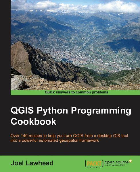
Over 140 recipes to help you turn QGIS from a desktop GIS tool into a powerful automated geospatial frameworkKey FeaturesUse Python and QGIS to create and transform data, produce appealing GIS visualizations, and build complex map layoutsLearn undocumented features of the new QGIS processing moduleA set of user-friendly recipes that can automate the entire geospatial workflows by connecting Python GIS building blocks into comprehensive processesBook DescriptionQGIS Python Programming will teach you how to write Python code that works with spatial data to automate geoprocessing tasks in QGIS. It will cover topics such as querying and editing vector data and using raster data. You will also learn to create, edit, and optimize a vector layer for faster queries, reproject a vector layer, reduce the number of vertices in a vector layer without losing critical data, and convert a raster to a vector. Following this, you will come across recipes that will help you to compose static maps, create heavily customized maps, and add specialized labels and annotations. Apart from this, the book will also share a few tips and tricks based on different aspects of this powerful tool.What you will learnBuild a library of reusable scripts with ScriptRunnerCreate, import, and edit geospatial data on disk or in memoryGet to know more about dynamic mappingCreate and add features to static mapsCreate a mapbookReproject a vector layerGeolocate photos on a mapCombine multiple rasters into one image
| Themen | Informatik und Informationstechnologie Computerprogrammierung und Softwareentwicklung Programmier- und Skriptsprachen, allgemein |
|---|---|
| ISBN | 9781783984985 |
| Sprache | Englisch |
| Erscheinungsdatum | 31.03.2015 |
| Größe | 235 x 191 mm |
| Verlag | Packt Publishing |
| Lieferzeit | Lieferung in 7-14 Werktagen |
| Herstellerangaben | Anzeigen Libri GmbH Europaallee 1 | D-36244 Bad Hersfeld gpsr@libri.de |
Wie gefällt Ihnen unser Shop?