GUTSCHEIN
Bitte haben Sie einen Moment Geduld, wir legen Ihr Produkt in den Warenkorb.
Diese Produkte könnten Sie auch interessieren:
Bitte haben Sie einen Moment Geduld, wir legen Ihr Produkt in den Warenkorb.
| Reihe | Cicerone guidebooks |
|---|---|
| Themen | Lifestyle, Hobbys und Freizeit Reisen und Urlaub Landkarten und Atlanten Reise- und Freizeitkarten |
| ISBN | 9781786312808 |
| Sprache | Englisch |
| Erscheinungsdatum | 03.08.2026 |
| Größe | 17.2 x 11.6 cm |
| Verlag | Cicerone Press Limited |
| Lieferzeit | Lieferung innerhalb von 28 Werktagen |
| Herstellerangaben | Anzeigen Cicerone Press Ltd. Juniper House, Murley Moss Business Village, Oxenholme Road | GB-LA9 7RL Kendal, Cumbria info@cicerone.co.uk |
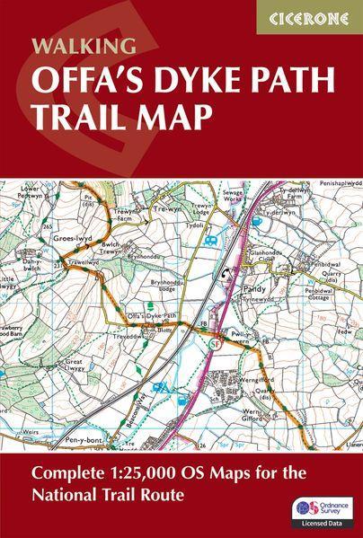
Trace the ancient boundary of Offa's Dyke Path, a 283km (177 mile) National Trail along Britain's longest ancient monument — the 8th-century earthwork separating England and Wales. The trail unfolds through diverse border landscapes, from the dramatic Wye Gorge and Tintern Abbey near Chepstow, across the remote Black Mountains and Hergest Ridge, to the industrial heritage of the Clwydian Range and the seaside finish at Prestatyn.
This trail map charts the Offa's Dyke Path from south to north and offers walkers of all abilities the chance to explore limestone gorges, mountain ridges, and borderland heritage over 12–14 days. Providing precise route-line mapping, it ensures you can follow Offa's ancient frontier with total confidence.
With expert guidance from author Mike Dunn, discover the timeless allure of Britain's borderlands, where every ridge reveals panoramic views, ancient history, and the quiet satisfaction of completing one of the National Trails.
| Reihe | Cicerone guidebooks |
|---|---|
| Themen | Lifestyle, Hobbys und Freizeit Reisen und Urlaub Landkarten und Atlanten Reise- und Freizeitkarten |
| ISBN | 9781786312808 |
| Sprache | Englisch |
| Erscheinungsdatum | 03.08.2026 |
| Größe | 17.2 x 11.6 cm |
| Verlag | Cicerone Press Limited |
| Lieferzeit | Lieferung innerhalb von 28 Werktagen |
| Herstellerangaben | Anzeigen Cicerone Press Ltd. Juniper House, Murley Moss Business Village, Oxenholme Road | GB-LA9 7RL Kendal, Cumbria info@cicerone.co.uk |
Wie gefällt Ihnen unser Shop?
