GUTSCHEIN
Bitte haben Sie einen Moment Geduld, wir legen Ihr Produkt in den Warenkorb.
Diese Produkte könnten Sie auch interessieren:
Bitte haben Sie einen Moment Geduld, wir legen Ihr Produkt in den Warenkorb.
| Reihe | Philip's Road Atlases |
|---|---|
| Themen | Lifestyle, Hobbys und Freizeit Reisen und Urlaub Landkarten und Atlanten Reise- und Freizeitkarten |
| ISBN | 9781849077217 |
| Sprache | Englisch |
| Erscheinungsdatum | 01.05.2025 |
| Größe | 383 x 280 mm |
| Verlag | Octopus Publishing Group |
| Lieferzeit | Lieferung innerhalb von 28 Werktagen |
| Herstellerangaben | Anzeigen Hachette Ireland info@hbgi.ie |
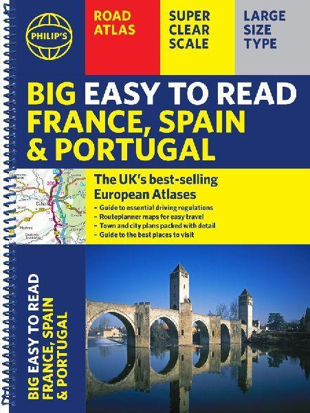
The Philip's Big Easy to Read France, Spain and Portugal Road Atlas, in a large spiral bound lie-flat edition, is the must-have travelling atlas for anyone who needs the big picture for touring these countries and the adjacent countries including Belgium and Luxembourg.Scenic routes are highlighted on the road maps, with theme parks and World Heritage Sites also clearly shown. The maps highlight towns with low-emission zones and show motorway rest/parking areas, not forgetting handy listings of top sites to visit and useful ski resort information.From the market leaders in European Road Mapping, in addition to the main maps at 1:750,000, the road network is shown at three supplementary scales from 1:250,000 to 1:3M, with ultra-clear detailed maps for urban areas, so that you can navigate in this part of Europe with ease and the toll, toll-free and pre-pay motorways all clearly marked. Philip's Big Easy to Read France and Spain Road Atlas includes: * Easy to read and updated driving regulations, including speed limits;* Route-planning maps which enable journeys of over 800 miles to be planned without turning a page;* Super clear, detailed road maps, with scenic routes highlighted and toll, toll-free and pre-pay motorways all clearly marked;* Large-scale urban-area maps;* City-centre plans marking historic buildings and tourist attractions, as well as car parks, head post offices and other facilities;* Listings for ski resorts and top visitor attractions.
| Reihe | Philip's Road Atlases |
|---|---|
| Themen | Lifestyle, Hobbys und Freizeit Reisen und Urlaub Landkarten und Atlanten Reise- und Freizeitkarten |
| ISBN | 9781849077217 |
| Sprache | Englisch |
| Erscheinungsdatum | 01.05.2025 |
| Größe | 383 x 280 mm |
| Verlag | Octopus Publishing Group |
| Lieferzeit | Lieferung innerhalb von 28 Werktagen |
| Herstellerangaben | Anzeigen Hachette Ireland info@hbgi.ie |
Wie gefällt Ihnen unser Shop?
