GUTSCHEIN
Bitte haben Sie einen Moment Geduld, wir legen Ihr Produkt in den Warenkorb.
Diese Produkte könnten Sie auch interessieren:
Bitte haben Sie einen Moment Geduld, wir legen Ihr Produkt in den Warenkorb.
| Reihe | Philip's Road Atlases |
|---|---|
| ISBN | 9781849077446 |
| Sprache | Englisch |
| Erscheinungsdatum | 04.06.2026 |
| Größe | 293 x 395 mm |
| Verlag | Octopus Publishing Group |
| Lieferzeit | Lieferung innerhalb von 28 Werktagen |
| Herstellerangaben | Anzeigen Hachette Ireland info@hbgi.ie |
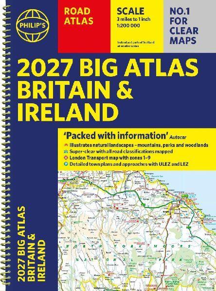
'Good balance between detail and clarity with excellent town maps' What Car?PHILIP'S is No. 1 in the UK for clear maps. The latest 2027 Philip's Big Road Atlas of Britain and Ireland, in a supersize large format, is expertly illustrated with landscapes and natural attractions and has fully updated mapping from the Philip's digital database alongside all the detail and information needed for successful travel.* Top driving tips for safety and skill including how to parallel park* Low Emission Zones and Ultra Low Emission Zones shown across British cities* The best scenic routes, natural features and landscape highlighted for enhanced travelling* Practical 'more to view per page' A3 size* Main scale of maps: 3 miles to 1 inch = 1:200,000 for ease of use* Route-planning section for the easiest navigation* Special wide-vehicle access indicators for rural areas* 64 fully indexed and detailed town and city plans* City approach maps with named roads for the best access with the latest ULEZ clearly outlined* Clear road map showing all of Ireland* Includes London Transport map zones 1-92027 Philip's Big Road Atlas of Britain and Ireland contains 96 pages of road maps covering Britain at 3 miles to 1 inch (Scottish Highlands and Western Isles at 4 miles to 1 inch, Orkney and Shetland at 5.25 miles to 1 inch). The maps clearly mark service areas, roundabouts and multi-level junctions for easy navigation, and in rural areas distinguish between roads over and under 4 metres wide, to help wide vehicles. There are extra-detailed town plans for easy navigation. The atlas also includes a 2-page road map of Ireland, route-planning maps, a distance table, London Transport map, and 12 large-scale city approach maps with named arterial roads.Wherever you are driving in Britain or Ireland, this is the ultimate road companion.
| Reihe | Philip's Road Atlases |
|---|---|
| ISBN | 9781849077446 |
| Sprache | Englisch |
| Erscheinungsdatum | 04.06.2026 |
| Größe | 293 x 395 mm |
| Verlag | Octopus Publishing Group |
| Lieferzeit | Lieferung innerhalb von 28 Werktagen |
| Herstellerangaben | Anzeigen Hachette Ireland info@hbgi.ie |
Wie gefällt Ihnen unser Shop?
