GUTSCHEIN
Bitte haben Sie einen Moment Geduld, wir legen Ihr Produkt in den Warenkorb.
Diese Produkte könnten Sie auch interessieren:
Bitte haben Sie einen Moment Geduld, wir legen Ihr Produkt in den Warenkorb.
| Reihe | Philip's World Atlas |
|---|---|
| Themen | Geowissenschaften, Geographie, Umwelt, Planung Geographie Geographische Nachschlagewerke Welt-/ Regionalatlanten oder Karten |
| ISBN | 9781849077576 |
| Sprache | Englisch |
| Erscheinungsdatum | 13.08.2026 |
| Größe | 393 x 287 mm |
| Verlag | Octopus Publishing Group |
| Lieferzeit | Lieferung innerhalb von 28 Werktagen |
| Herstellerangaben | Anzeigen Hachette Ireland info@hbgi.ie |
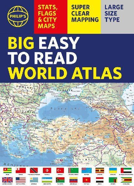
With detail you need at a size you can read, this extra large, quick-reference, great value World Atlas contains thousands of global facts at your fingertips. Both physical and political geography are easy to read and clearly illustrated along with details about the great cities of our time.The highest peak? The deepest ocean trench? The wettest, driest, longest, largest - we list the world's fascinating extremes. Large and clear but crammed with practical information like World Time Zones, 200 State Flags and the top 100 most populous countries, we include around 15,000 places indexed for easy checking. Whether for the pub quiz, travel planning or school reference, this great value, large format world atlas is crammed with everything you need to know.Features include:* Easy to read mapping in LARGE type* 200 Flags of the world's major states and territories* 60 City centre maps: transport (road, rail, trams, light railways, bus and railway stations) and places of interest including religious buildings (churches, abbeys, cathedrals, synagogues, shrines, temples, mosques), museums, galleries, theatres, palaces, castles, parks, gardens, zoos, shopping centres, hospitals, Tourist Centres.* World time zones map* Country comparisons table - the population and areas of the world's top 100 most populous countries* Physical comparisons- largest oceans, longest rivers, biggest islands, highest peaks, deepest trenches.* Climate and weather records - the coldest place, hottest place, wettest place, driest place* World topographic maps - with coloured contour layers and hill-shading clearly outlining the Earth's surface.* World political maps - the latest boundary and geopolitical changes.* LARGE TYPE Index of approx. 15,000 place-names - with geographical features like mountains, lakes and deserts, as well as towns.
| Reihe | Philip's World Atlas |
|---|---|
| Themen | Geowissenschaften, Geographie, Umwelt, Planung Geographie Geographische Nachschlagewerke Welt-/ Regionalatlanten oder Karten |
| ISBN | 9781849077576 |
| Sprache | Englisch |
| Erscheinungsdatum | 13.08.2026 |
| Größe | 393 x 287 mm |
| Verlag | Octopus Publishing Group |
| Lieferzeit | Lieferung innerhalb von 28 Werktagen |
| Herstellerangaben | Anzeigen Hachette Ireland info@hbgi.ie |
Wie gefällt Ihnen unser Shop?
