GUTSCHEIN
Bitte haben Sie einen Moment Geduld, wir legen Ihr Produkt in den Warenkorb.
Diese Produkte könnten Sie auch interessieren:
Bitte haben Sie einen Moment Geduld, wir legen Ihr Produkt in den Warenkorb.
| Reihe | Trail Maps XT40 |
|---|---|
| Themen | Lifestyle, Hobbys und Freizeit Reisen und Urlaub Landkarten und Atlanten Reise- und Freizeitkarten |
| ISBN | 9781851376155 |
| Sprache | Englisch |
| Erscheinungsdatum | 14.01.2019 |
| Größe | 243 x 134 mm |
| Verlag | Harvey Map Services Ltd |
| Lieferzeit | Lieferung innerhalb von 28 Werktagen |
| Herstellerangaben | Anzeigen Libri GmbH Europaallee 1 | D-36244 Bad Hersfeld gpsr@libri.de |
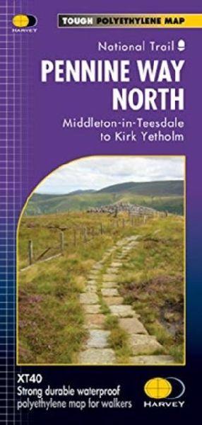
The Pennine Way is a National Trail. It follows the backbone of England from the Peak District to the Scottish borders. It is one of the toughest UK long distance footpaths, and forms part of the European Footpath Network. The Pennine Way was Britains first National Trail, opened in 1965. Just 2 HARVEY maps cover the whole 268 mile route. Each covers a section of the Way suitable for a comfortable week of walking. Each starts and finishes near public transport, so no hassle with getting lifts. Each also contains lots of information and useful telephone numbers to assist the walker with planning. Pennine Way North covers the route from Middleton-in-Teesdale to Kirk Yetholm. Information on finding accommodation, camping and food. Directions to the start. Also Ranger Service contact numbers and enlargements of towns/villages showing facilities available and tips on weather and clothing. Detailed mapping, full legend. National Grid - can be used with GPS.
| Reihe | Trail Maps XT40 |
|---|---|
| Themen | Lifestyle, Hobbys und Freizeit Reisen und Urlaub Landkarten und Atlanten Reise- und Freizeitkarten |
| ISBN | 9781851376155 |
| Sprache | Englisch |
| Erscheinungsdatum | 14.01.2019 |
| Größe | 243 x 134 mm |
| Verlag | Harvey Map Services Ltd |
| Lieferzeit | Lieferung innerhalb von 28 Werktagen |
| Herstellerangaben | Anzeigen Libri GmbH Europaallee 1 | D-36244 Bad Hersfeld gpsr@libri.de |
Wie gefällt Ihnen unser Shop?