GUTSCHEIN
Bitte haben Sie einen Moment Geduld, wir legen Ihr Produkt in den Warenkorb.
Diese Produkte könnten Sie auch interessieren:
Bitte haben Sie einen Moment Geduld, wir legen Ihr Produkt in den Warenkorb.
| Reihe | Cicerone guidebooks |
|---|---|
| Themen | Lifestyle, Hobbys und Freizeit Reisen und Urlaub Landkarten und Atlanten Reise- und Freizeitkarten |
| ISBN | 9781852849559 |
| Sprache | Englisch |
| Erscheinungsdatum | 07.07.2017 |
| Größe | 17.2 x 11.6 cm |
| Verlag | Cicerone Press Limited |
| Lieferzeit | Lieferung innerhalb von 28 Werktagen |
| Herstellerangaben | Anzeigen Easy Access Systems Europe Mustamäe tee 50 | EE-10621 Tallinn gpsr.requests@easproject.com |
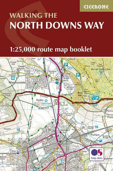
A booklet of all the mapping needed to complete the North Downs Way National Trail between the high downland of Farnham, Hampshire and Dover on the Kent coast. Covering 208km (130 miles), this gentle trail takes around 11 days to walk and is an ideal first long-distance hike for beginners.
| Reihe | Cicerone guidebooks |
|---|---|
| Themen | Lifestyle, Hobbys und Freizeit Reisen und Urlaub Landkarten und Atlanten Reise- und Freizeitkarten |
| ISBN | 9781852849559 |
| Sprache | Englisch |
| Erscheinungsdatum | 07.07.2017 |
| Größe | 17.2 x 11.6 cm |
| Verlag | Cicerone Press Limited |
| Lieferzeit | Lieferung innerhalb von 28 Werktagen |
| Herstellerangaben | Anzeigen Easy Access Systems Europe Mustamäe tee 50 | EE-10621 Tallinn gpsr.requests@easproject.com |
Wie gefällt Ihnen unser Shop?