GUTSCHEIN
Bitte haben Sie einen Moment Geduld, wir legen Ihr Produkt in den Warenkorb.
Diese Produkte könnten Sie auch interessieren:
Bitte haben Sie einen Moment Geduld, wir legen Ihr Produkt in den Warenkorb.
| Reihe | Buster Books |
|---|---|
| ISBN | 9781916763135 |
| Sprache | Englisch |
| Erscheinungsdatum | 22.05.2025 |
| Größe | 274 x 212 mm |
| Verlag | Michael O'Mara Books Ltd |
| Illustrationen | Andy Rowland |
| Lieferzeit | Lieferung in 7-14 Werktagen |
| Herstellerangaben | Anzeigen info@arccompliance.com |
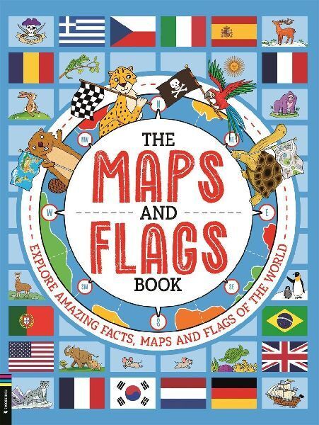
This fun and engaging book contains everything kids need to know about maps and flags of the world.The book features a detailed introduction, so readers can learn how maps are created, how countries are defined and some useful background information about flags before they get stuck in.The rest of the book is laid out by continent, with every country in the world listed, alongside its flag and some key stats, such as population, capital city and area. Each entry is accompanied by a fascinating fact to unpack the meaning and symbolism of each flag. Bonus quirky maps are dotted throughout, covering topics such as national animals, journeys of exploration, pirate maps and flags, and time zones.Packed with information and exciting facts, this is the perfect introduction to maps and flags for young geographers.
| Reihe | Buster Books |
|---|---|
| ISBN | 9781916763135 |
| Sprache | Englisch |
| Erscheinungsdatum | 22.05.2025 |
| Größe | 274 x 212 mm |
| Verlag | Michael O'Mara Books Ltd |
| Illustrationen | Andy Rowland |
| Lieferzeit | Lieferung in 7-14 Werktagen |
| Herstellerangaben | Anzeigen info@arccompliance.com |
Wie gefällt Ihnen unser Shop?
