GUTSCHEIN
Bitte haben Sie einen Moment Geduld, wir legen Ihr Produkt in den Warenkorb.
Diese Produkte könnten Sie auch interessieren:
Bitte haben Sie einen Moment Geduld, wir legen Ihr Produkt in den Warenkorb.
| Reihe | Locate Press |
|---|---|
| ISBN | 9781998414031 |
| Sprache | Englisch |
| Erscheinungsdatum | 05.09.2024 |
| Größe | 210 x 148 mm |
| Verlag | Locate Press |
| Herausgegeben von | Tyler Mitchell |
| Lieferzeit | Lieferung in 7-14 Werktagen |
| Herstellerangaben | Anzeigen Libri GmbH Europaallee 1 | D-36244 Bad Hersfeld gpsr@libri.de |
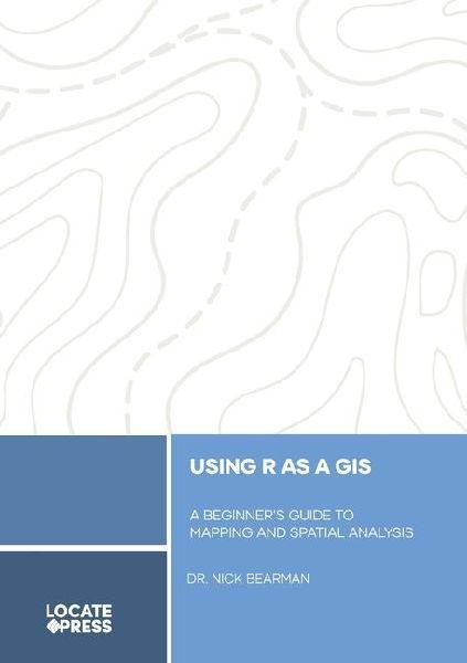
Discover how the R programming language can transform your GIS journey, enabling you to create maps, analyze spatial data, and unlock advanced geospatial insights-no prior experience needed!This book introduces the scripting language R and how to use it as a GIS for managing, displaying, symbolizing, and analyzing spatial data. While R started as a statistics tool, it now rivals software like QGIS or ArcGIS Pro, offering spatial analysis and map creation.We'll cover the basics of GIS and R, as well as advanced visualization and analysis techniques. No prior GIS or scripting experience is required, making this book ideal for beginners or those transitioning from desktop GIS to a script-based approach. Benefits of scripting include reusable code and easier knowledge sharing, such as sharing research project workflows.- Part 1: What is GIS & Spatial Data? - Essential GIS theory for success.- Part 2: Spatial Data - Advanced maps using raster and vector data.- Part 3: Advanced Concepts - Loops for repetitive tasks and data wrangling in R.- Part 4: Project Management - File management, version control, R projects, and markdown workflows.- Part 5: Next Steps - Tips for finding spatial data, progressing with R, and accessing help online.Designed for those new to R or scripting, this book assumes no prior knowledge. Familiarity with GIS (e.g., QGIS or ArcGIS) helps but isn't required-we'll explain the key terms and concepts you need.
| Reihe | Locate Press |
|---|---|
| ISBN | 9781998414031 |
| Sprache | Englisch |
| Erscheinungsdatum | 05.09.2024 |
| Größe | 210 x 148 mm |
| Verlag | Locate Press |
| Herausgegeben von | Tyler Mitchell |
| Lieferzeit | Lieferung in 7-14 Werktagen |
| Herstellerangaben | Anzeigen Libri GmbH Europaallee 1 | D-36244 Bad Hersfeld gpsr@libri.de |
Wie gefällt Ihnen unser Shop?
