GUTSCHEIN
Bitte haben Sie einen Moment Geduld, wir legen Ihr Produkt in den Warenkorb.
Diese Produkte könnten Sie auch interessieren:
Auch verfügbar als:
Bitte haben Sie einen Moment Geduld, wir legen Ihr Produkt in den Warenkorb.
| Reihe | Space Sciences Series of ISSI |
|---|---|
| Themen | Geowissenschaften, Geographie, Umwelt, Planung Geowissenschaften |
| ISBN | 9783030249090 |
| Sprache | Englisch |
| Erscheinungsdatum | 04.09.2019 |
| Größe | 23.5 x 15.5 cm |
| Verlag | Springer International Publishing |
| Herausgegeben von | Saskia Foerster, Luis Guanter, Teodolina Lopez, José Moreno, Michael Rast, Michael E. Schaepman |
| Lieferzeit | Lieferung in 7-14 Werktagen |
| Herstellerangaben | Anzeigen Springer Nature Customer Service Center GmbH Europaplatz 3 | DE-69115 Heidelberg ProductSafety@springernature.com |
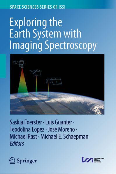
This volume presents a broad overview of the requirements, capabilities, challenges and future directions of spaceborne imaging spectroscopy to explore the Earth’s surface for a range of application domains. These include mine exploration, soil mapping, vegetation monitoring, mapping of pollution and hazardous materials, inland and coastal water monitoring, urban applications and others. Imaging spectroscopy, also often termed hyperspectral remote sensing, for terrestrial Earth observation dates back to the 1980s, when the first spectrometers observing in the visible to shortwave infrared wavelength range were deployed on airborne platforms. From the end of the 1990s onwards, spaceborne hyperspectral missions have demonstrated the capability to provide information on the composition and biochemical and physical characteristics of the Earth’s surface. Today, several hyperspectral spaceborne missions are under development to be launched within the next few years. It can be expectedthat future global and frequent coverage of the Earth’s surface with spaceborne imaging spectroscopy data will bring a major advance in the information depth that future Earth system models and monitoring service developments can be based on. Previously published in Surveys in Geophysics , Volume 40, Issue 3, 2019 The chapters "Imaging Spectrometry of Inland and Coastal Waters: State of the Art, Achievements and Perspectives", "Imaging Spectroscopy for the Detection, Assessment and Monitoring of Natural and Anthropogenic Hazards", "Assessing Vegetation Function with Imaging Spectroscopy", "Spaceborne Imaging Spectroscopy for Sustainable Agriculture: Contributions and Challenges" are available as open access articles under a CC BY 4.0 license at link.springer.com.
| Reihe | Space Sciences Series of ISSI |
|---|---|
| Themen | Geowissenschaften, Geographie, Umwelt, Planung Geowissenschaften |
| ISBN | 9783030249090 |
| Sprache | Englisch |
| Erscheinungsdatum | 04.09.2019 |
| Größe | 23.5 x 15.5 cm |
| Verlag | Springer International Publishing |
| Herausgegeben von | Saskia Foerster, Luis Guanter, Teodolina Lopez, José Moreno, Michael Rast, Michael E. Schaepman |
| Lieferzeit | Lieferung in 7-14 Werktagen |
| Herstellerangaben | Anzeigen Springer Nature Customer Service Center GmbH Europaplatz 3 | DE-69115 Heidelberg ProductSafety@springernature.com |
Wie gefällt Ihnen unser Shop?
