Bitte haben Sie einen Moment Geduld, wir legen Ihr Produkt in den Warenkorb.
| Reihe | International Association of Geodesy Symposia |
|---|---|
| ISBN | 9783030394370 |
| Sprache | Englisch |
| Erscheinungsdatum | 14.02.2020 |
| Genre | Geowissenschaften/Geologie |
| Verlag | Springer International Publishing |
| Herausgegeben von | Stelios P. Mertikas, Roland Pail |
| Lieferzeit | Lieferbar in 11 Werktagen |
| Herstellerangaben | Anzeigen Springer Nature Customer Service Center GmbH Europaplatz 3 | DE-69115 Heidelberg ProductSafety@springernature.com |
- ✔ kostenlose Lieferung innerhalb Österreichs ab € 35,–
- ✔ über 1,5 Mio. Bücher, DVDs & CDs im Angebot
- ✔ alle FALTER-Produkte und Abos, nur hier!
- ✔ hohe Sicherheit durch SSL-Verschlüsselung (RSA 4096 bit)
- ✔ keine Weitergabe personenbezogener Daten an Dritte
- ✔ als 100% österreichisches Unternehmen liefern wir innerhalb Österreichs mit der Österreichischen Post
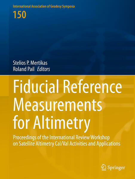
These proceedings include selected papers from the International Review Workshop on Satellite Altimetry Cal/Val Activities and Applications, held in Chania, Crete, Greece, on 23-26 April 2018. Organised in the context of the European Space Agency Project “Fiducial Reference Measurements for Altimetry” the workshop was cosponsored by the International Association of Geodesy (in particular by the IAG Commission 2, Gravity Field), the European Space Agency, the European Union (the Copernicus Programme), the European Organisation for the Exploitation of Meteorological Satellites (EUMETSAT), Space Geomatica P.C., and the Municipality of Chania.
The workshop presented the latest research in the field of satellite altimetry calibration and altimetry applications for monitoring ocean changes and improving Earth observation in an objective, continuous, homogeneous and reliable manner, free of errors and biases. Further, it supported long-term monitoring of climate change by providing abetter understanding of environmental changes in the world's oceans, terrestrial surface waters, and Arctic and Antarctic Regions. The outcome was the creation of a scientific roadmap with procedures, protocols, guidelines, and best practices to help international groups working on satellite altimetry to establish SI (Système International d'Unités) traceability of their measurements, results and data products.
| Reihe | International Association of Geodesy Symposia |
|---|---|
| ISBN | 9783030394370 |
| Sprache | Englisch |
| Erscheinungsdatum | 14.02.2020 |
| Genre | Geowissenschaften/Geologie |
| Verlag | Springer International Publishing |
| Herausgegeben von | Stelios P. Mertikas, Roland Pail |
| Lieferzeit | Lieferbar in 11 Werktagen |
| Herstellerangaben | Anzeigen Springer Nature Customer Service Center GmbH Europaplatz 3 | DE-69115 Heidelberg ProductSafety@springernature.com |
- ✔ kostenlose Lieferung innerhalb Österreichs ab € 35,–
- ✔ über 1,5 Mio. Bücher, DVDs & CDs im Angebot
- ✔ alle FALTER-Produkte und Abos, nur hier!
- ✔ hohe Sicherheit durch SSL-Verschlüsselung (RSA 4096 bit)
- ✔ keine Weitergabe personenbezogener Daten an Dritte
- ✔ als 100% österreichisches Unternehmen liefern wir innerhalb Österreichs mit der Österreichischen Post
Wie gefällt Ihnen unser Shop?


