GUTSCHEIN
Bitte haben Sie einen Moment Geduld, wir legen Ihr Produkt in den Warenkorb.
Diese Produkte könnten Sie auch interessieren:
Auch verfügbar als:
Bitte haben Sie einen Moment Geduld, wir legen Ihr Produkt in den Warenkorb.
| Reihe | Springer Remote Sensing/Photogrammetry |
|---|---|
| Themen | Geowissenschaften, Geographie, Umwelt, Planung Geographie Geographische Informationssysteme (GIS) und Fernerkundung |
| ISBN | 9783030733216 |
| Sprache | Englisch |
| Erscheinungsdatum | 05.11.2022 |
| Größe | 23.5 x 15.5 cm |
| Verlag | Springer International Publishing |
| Lieferzeit | Lieferung in 7-14 Werktagen |
| Herstellerangaben | Anzeigen Springer Nature Customer Service Center GmbH Europaplatz 3 | DE-69115 Heidelberg ProductSafety@springernature.com |
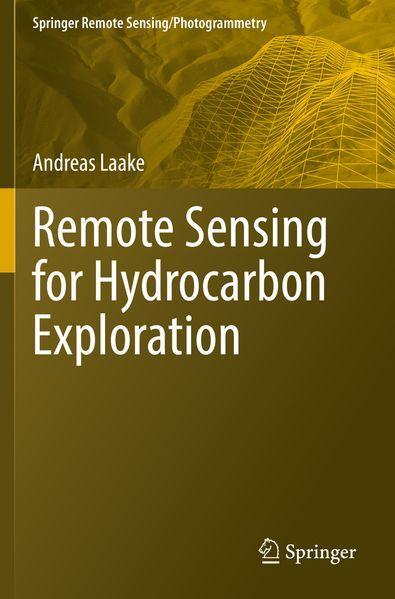
This book provides insights into the benefits of using remote sensing data from a geoscientist's perspective, by integrating the data with the understanding of Earth's surface and subsurface. In 3 sections, the book takes a detailed look at what data explorationists use when they explore for hydrocarbon resources, assess different terrain types for planning and hazards and extract present-day geologic analogs for subsurface geologic settings. The book presents the usage of remote sensing data in exploration in a structured way by detecting individual geologic features as building blocks for complex geologic systems. This concept enables readers to build their own workflows for the assessment of complex geologic systems using various combinations of remote sensing data.
Section 1 introduces readers to the foundations of remote sensing for exploration, covers various methods of image processing and studies different digital elevation and bathymetry models. Section 2 presents the concept of geomorphology as a means to integrate surface and subsurface data. Different aspects of rendering in 2D and 3D are explained and used for the interpretation and extraction of geologic features that are used in exploration.
Section 3 addresses remote sensing for hydrocarbon exploration in detail, from geophysical data acquisition to development and infrastructure planning. The organization of this chapter follows an exploration workflow from regional to local modeling studying basin and petroleum system modeling as well as logistics planning of seismic surveys and near-surface modeling. Aspects of field development and infrastructure planning comprise multi-temporal and dynamic modeling. The section closes with a structured approach to extracting geologic analogs from interpreted remote sensing data.
The book will be of interest to professionals and students working in exploration for hydrocarbons and water resources, as well as geoscientists and engineers using remote sensing for infrastructure planning, hazard assessment and dynamic environmental studies.
| Reihe | Springer Remote Sensing/Photogrammetry |
|---|---|
| Themen | Geowissenschaften, Geographie, Umwelt, Planung Geographie Geographische Informationssysteme (GIS) und Fernerkundung |
| ISBN | 9783030733216 |
| Sprache | Englisch |
| Erscheinungsdatum | 05.11.2022 |
| Größe | 23.5 x 15.5 cm |
| Verlag | Springer International Publishing |
| Lieferzeit | Lieferung in 7-14 Werktagen |
| Herstellerangaben | Anzeigen Springer Nature Customer Service Center GmbH Europaplatz 3 | DE-69115 Heidelberg ProductSafety@springernature.com |
Wie gefällt Ihnen unser Shop?
