GUTSCHEIN
Bitte haben Sie einen Moment Geduld, wir legen Ihr Produkt in den Warenkorb.
Diese Produkte könnten Sie auch interessieren:
Bitte haben Sie einen Moment Geduld, wir legen Ihr Produkt in den Warenkorb.
| Reihe | Lecture Notes in Geoinformation and Cartography |
|---|---|
| Themen | Geowissenschaften, Geographie, Umwelt, Planung Geographie Geographische Informationssysteme (GIS) und Fernerkundung |
| ISBN | 9783319628486 |
| Sprache | Englisch |
| Erscheinungsdatum | 23.02.2019 |
| Größe | 23.5 x 15.5 cm |
| Verlag | Springer International Publishing |
| Herausgegeben von | Henrik Hargitai |
| Lieferzeit | Lieferung in 7-14 Werktagen |
| Herstellerangaben | Anzeigen Springer Nature Customer Service Center GmbH Europaplatz 3 | DE-69115 Heidelberg ProductSafety@springernature.com |
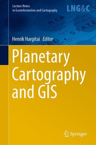
This book approaches geological, geomorphological and topographical mapping from the point in the workflow at which science-ready datasets are available. Though there have been many individual projects on dynamic maps and online GISs, in which coding and data processing are given precedence over cartographic principles, cartography is more than “just” processing and displaying spatial data. However, there are currently no textbooks on this rapidly changing field, and methods tend to be shared informally.
Addressing this gap in the literature, the respective chapters outline many topics pertaining to cartography and mapping such as the role and definition of planetary cartography and (vs?) Geographic Information Science; theoretical background and practical methodologies in geological mapping; science-ready versus public-ready products; a goal/procedure-focused practical manual of the most commonly used software in planetary mapping, which includes generic (ArcGISand its extensions, JMARS) and specific tools (HiView, Cratertools etc.); extracting topographic information from images; thematic mapping: climate; geophysics; surface modeling; change detection; landing site selection; shared maps; dynamic maps on the web; planetary GIS interfaces; crowdsourcing; crater counting techniques; irregular bodies; geological unit symbology; mapping center activities; and web services.
All chapters were prepared by authors who have actually produced geological maps or GISs for NASA / the USGS, DLR, ESA or MIIGAIK. Taken together, they offer an excellent resource for all planetary scientists whose research depends on mapping, and for students of astrogeology.
| Reihe | Lecture Notes in Geoinformation and Cartography |
|---|---|
| Themen | Geowissenschaften, Geographie, Umwelt, Planung Geographie Geographische Informationssysteme (GIS) und Fernerkundung |
| ISBN | 9783319628486 |
| Sprache | Englisch |
| Erscheinungsdatum | 23.02.2019 |
| Größe | 23.5 x 15.5 cm |
| Verlag | Springer International Publishing |
| Herausgegeben von | Henrik Hargitai |
| Lieferzeit | Lieferung in 7-14 Werktagen |
| Herstellerangaben | Anzeigen Springer Nature Customer Service Center GmbH Europaplatz 3 | DE-69115 Heidelberg ProductSafety@springernature.com |
Wie gefällt Ihnen unser Shop?
