GUTSCHEIN
Bitte haben Sie einen Moment Geduld, wir legen Ihr Produkt in den Warenkorb.
Diese Produkte könnten Sie auch interessieren:
Auch verfügbar als:
Bitte haben Sie einen Moment Geduld, wir legen Ihr Produkt in den Warenkorb.
| Reihe | Springer Remote Sensing/Photogrammetry |
|---|---|
| Themen | Geowissenschaften, Geographie, Umwelt, Planung Geographie Geographische Informationssysteme (GIS) und Fernerkundung |
| ISBN | 9783319876825 |
| Sprache | Englisch |
| Erscheinungsdatum | 31.08.2018 |
| Größe | 23.5 x 15.5 cm |
| Verlag | Springer International Publishing |
| Herausgegeben von | Alberto Refice, Annarita D'Addabbo, Domenico Capolongo |
| Lieferzeit | Lieferung in 7-14 Werktagen |
| Herstellerangaben | Anzeigen Springer Nature Customer Service Center GmbH Europaplatz 3 | DE-69115 Heidelberg ProductSafety@springernature.com |
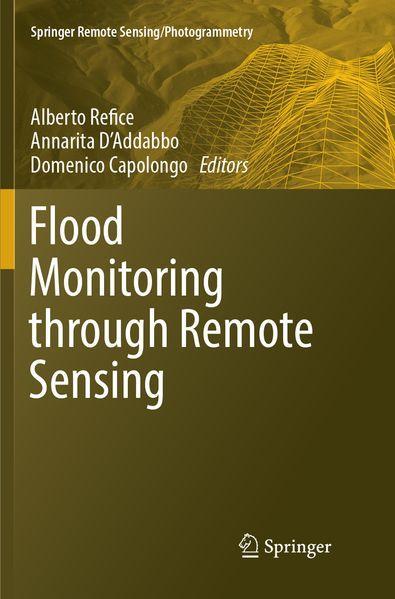
This book is an overview of current state of the art about monitoring of inundation events through remote sensing. A complete approach to efficient and precise flood monitoring requires multiple fields of expertise, from image processing to hydrologic monitoring. This volume details the latest remote sensing techniques for flood monitoring and mapping, including use of optical data from geostationary sensors and LEO spacecraft, synthetic aperture radar (SAR) data analysis, and data fusion. Detailed case studies from a variety of subject experts illustrate these tools and techniques.
Accurate monitoring of flood events is increasingly necessary to gain insight about both causes and remedies. Floods are one of the most destructive hazards to the human populations, they can occur practically everywhere on the Earth surface, and each year cause considerable harm and damage to infrastructures. The recent Flood directive in European Countries is contributing to a more quantitative approach to flood hazard and risk evaluation.
| Reihe | Springer Remote Sensing/Photogrammetry |
|---|---|
| Themen | Geowissenschaften, Geographie, Umwelt, Planung Geographie Geographische Informationssysteme (GIS) und Fernerkundung |
| ISBN | 9783319876825 |
| Sprache | Englisch |
| Erscheinungsdatum | 31.08.2018 |
| Größe | 23.5 x 15.5 cm |
| Verlag | Springer International Publishing |
| Herausgegeben von | Alberto Refice, Annarita D'Addabbo, Domenico Capolongo |
| Lieferzeit | Lieferung in 7-14 Werktagen |
| Herstellerangaben | Anzeigen Springer Nature Customer Service Center GmbH Europaplatz 3 | DE-69115 Heidelberg ProductSafety@springernature.com |
Wie gefällt Ihnen unser Shop?
