GUTSCHEIN
Bitte haben Sie einen Moment Geduld, wir legen Ihr Produkt in den Warenkorb.
Diese Produkte könnten Sie auch interessieren:
Bitte haben Sie einen Moment Geduld, wir legen Ihr Produkt in den Warenkorb.
| Reihe | Courier Forschungsinstitut Senckenberg (CFS) |
|---|---|
| Themen | Mathematik und Naturwissenschaften Biologie, Biowissenschaften Zoologie und Tierwissenschaften |
| ISBN | 9783510613700 |
| Sprache | Englisch, Deutsch |
| Erscheinungsdatum | 28.01.2005 |
| Größe | 30 x 21 cm |
| Verlag | Schweizerbart'sche, E. |
| Herausgegeben von | S V Popov, F Rögl, F F Steininger, F Rozanov |
| Lieferzeit | Lieferung in 7-14 Werktagen |
| Herstellerangaben | Anzeigen E. Schweizerbart'sche Verlagsbuchhandlung (Nägele u. Obermiller) Johannesstraße 3a | DE-70176 Stuttgart mail@schweizerbart.de |
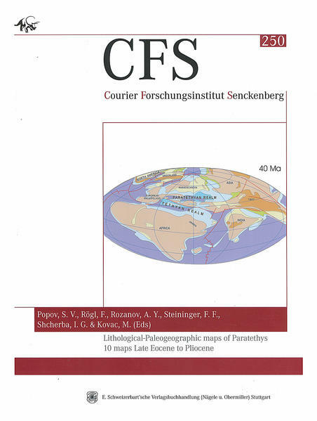
The fundamental reorganization of the Tethyan Realm in the Cenozoic was caused by the African / Apulian / Arabian - Eurasian continent-continent collision which began in the Eocene. This resulted in the uplift and emergence of the evolving Alpine chains from the Pyrenees in the west to the Lesser Caucasus - Elburz - Kopetdagh island arcs in the east. With respect to paleogeography, the collision resulted in the break-up of the Tethyan realm into southern (circum-Mediterranean) and northern (Paratethyan) domains, as well as in their strong fragmentation and an increase in biogeographical differentiation in the course oftime. Since the Oligocene, the northern domain was subject to recurrent isolation from the Mediterranean sea and the world ocean. This paleogeoraphic atlas portrays the post-collision paleogeography and evolution of the Paratethys area from the fore-Alpine region to the Tien- Shan and Kopetdagh by means of ten 1:7500000 scale maps. Two of these maps cover Late Eocene (Priabonian), Oligocene, Miocene (6 maps) and late Pliocene paleogeography. Each map is a palinspastic map on the relevant geo- dynamic base (1:20.000.000). An integrated biogeographical approach was applied so as to be relevant for palinspastic reconstructions of the active Alpine Fold Belt, where the influence of plate tectonics was too severe and nappe tectonics occured. The key information on the restoration of land bridges, marine straits and gulfs was achieved from paleobiogeographical data, since geodynamical events can hardly be reconstructed other than by studying the areal distribution patterns of main fossil groups.
| Reihe | Courier Forschungsinstitut Senckenberg (CFS) |
|---|---|
| Themen | Mathematik und Naturwissenschaften Biologie, Biowissenschaften Zoologie und Tierwissenschaften |
| ISBN | 9783510613700 |
| Sprache | Englisch, Deutsch |
| Erscheinungsdatum | 28.01.2005 |
| Größe | 30 x 21 cm |
| Verlag | Schweizerbart'sche, E. |
| Herausgegeben von | S V Popov, F Rögl, F F Steininger, F Rozanov |
| Lieferzeit | Lieferung in 7-14 Werktagen |
| Herstellerangaben | Anzeigen E. Schweizerbart'sche Verlagsbuchhandlung (Nägele u. Obermiller) Johannesstraße 3a | DE-70176 Stuttgart mail@schweizerbart.de |
Wie gefällt Ihnen unser Shop?