Bitte haben Sie einen Moment Geduld, wir legen Ihr Produkt in den Warenkorb.
Diese Produkte könnten Sie auch interessieren:
Bitte haben Sie einen Moment Geduld, wir legen Ihr Produkt in den Warenkorb.
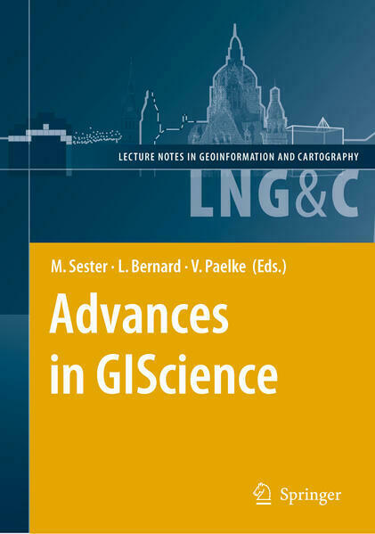
| Reihe | Lecture Notes in Geoinformation and Cartography |
|---|---|
| ISBN | 9783642101427 |
| Sprache | Englisch |
| Erscheinungsdatum | 28.10.2010 |
| Genre | Geowissenschaften/Geografie |
| Verlag | Springer Berlin |
| Herausgegeben von | Monika Sester, Lars Bernard, Volker Paelke |
| Lieferzeit | Lieferbar in 6 Werktagen |
| Herstellerangaben | Anzeigen Springer Nature Customer Service Center GmbH ProductSafety@springernature.com |
The Association of Geographic Information Laboratories for Europe (AGILE) was established in early 1998 to promote academic teaching and research on GIS at the European level. Since then, the annual AGILE c- ference has gradually become the leading GIScience conference in Europe and provides a multidisciplinary forum for scientific knowledge prod- tion and dissemination. GIScience addresses the understanding and automatic processing of geospatial information in its full breadth. While geo-objects can be represented either as vector data or in raster formats these representations have also guided the research in different disciplines, with GIS researchers concentrating on vector data while research in photogrammetry and c- puter vision focused on (geospatial) raster data. Although there have - ways been small but fine sessions addressing photogrammetry and image analysis at past AGILE conferences, these topics typically played only a minor role. Thus to broaden the domain of topics the AGILE 2009 con- rence it is jointly organized with a Workshop of the International Society of Photogrammetry and Remote Sensing (ISPRS), dedicated to High Re- lution Satellite Imagery, organized by Prof. Christian Heipke of the Le- niz Universität Hannover. This collocation provides opportunities to explore commonalities - tween research communities and to ease exchange between participants to develop or deepen mutual understanding. We hope that this approach enables researchers from the different communities to identify common - terests and research methods and thus provides a basis for possible future cooperations.
| Reihe | Lecture Notes in Geoinformation and Cartography |
|---|---|
| ISBN | 9783642101427 |
| Sprache | Englisch |
| Erscheinungsdatum | 28.10.2010 |
| Genre | Geowissenschaften/Geografie |
| Verlag | Springer Berlin |
| Herausgegeben von | Monika Sester, Lars Bernard, Volker Paelke |
| Lieferzeit | Lieferbar in 6 Werktagen |
| Herstellerangaben | Anzeigen Springer Nature Customer Service Center GmbH ProductSafety@springernature.com |
Wie gefällt Ihnen unser Shop?