GUTSCHEIN
Bitte haben Sie einen Moment Geduld, wir legen Ihr Produkt in den Warenkorb.
Diese Produkte könnten Sie auch interessieren:
Bitte haben Sie einen Moment Geduld, wir legen Ihr Produkt in den Warenkorb.
| Themen | Lifestyle, Hobbys und Freizeit Reisen und Urlaub Landkarten und Atlanten Straßenverzeichnisse, Stadtpläne oder -atlanten |
|---|---|
| ISBN | 9789004755024 |
| Sprache | Englisch |
| Erscheinungsdatum | 18.06.2026 |
| Größe | 279 x 215 mm |
| Verlag | Brill |
| Lieferzeit | Lieferung innerhalb von 28 Werktagen |
| Herstellerangaben | Anzeigen Libri GmbH Europaallee 1 | D-36244 Bad Hersfeld gpsr@libri.de |
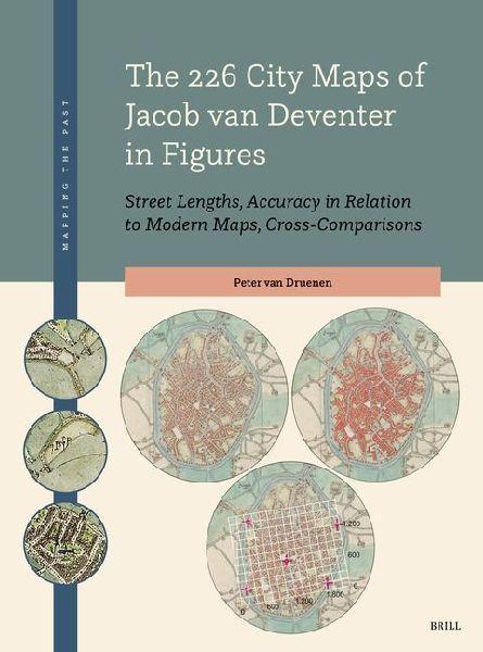
In this publication, Peter van Druenen presents an innovative method by which - for the first time - all 226 city maps created by Jacob van Deventer between 1545 and 1575 have been systematically and consistently measured, analysed for quality, and compared. The essence of this 'Passus Method' lies in considering the relationship between the length of built-up street sides and the size of a city's population. The method enables objective comparisons with other city maps from the 16th, 17th, and 18th centuries, thereby allowing for the construction of demographic series that are, in turn, important for mapping migration and urbanisation movements and patterns.
| Themen | Lifestyle, Hobbys und Freizeit Reisen und Urlaub Landkarten und Atlanten Straßenverzeichnisse, Stadtpläne oder -atlanten |
|---|---|
| ISBN | 9789004755024 |
| Sprache | Englisch |
| Erscheinungsdatum | 18.06.2026 |
| Größe | 279 x 215 mm |
| Verlag | Brill |
| Lieferzeit | Lieferung innerhalb von 28 Werktagen |
| Herstellerangaben | Anzeigen Libri GmbH Europaallee 1 | D-36244 Bad Hersfeld gpsr@libri.de |
Wie gefällt Ihnen unser Shop?
