GUTSCHEIN
Bitte haben Sie einen Moment Geduld, wir legen Ihr Produkt in den Warenkorb.
Diese Produkte könnten Sie auch interessieren:
Bitte haben Sie einen Moment Geduld, wir legen Ihr Produkt in den Warenkorb.
| Themen | Gesellschaft und Sozialwissenschaften Gesellschaft und Kultur, allgemein Soziale und ethische Themen Wohnen und Obdachlosigkeit |
|---|---|
| ISBN | 9789292775643 |
| Sprache | Englisch |
| Erscheinungsdatum | 18.12.2025 |
| Größe | 280 x 216 mm |
| Verlag | Asian Development Bank |
| Lieferzeit | Lieferung in 7-14 Werktagen |
| Herstellerangaben | Anzeigen Libri GmbH Europaallee 1 | D-36244 Bad Hersfeld gpsr@libri.de |
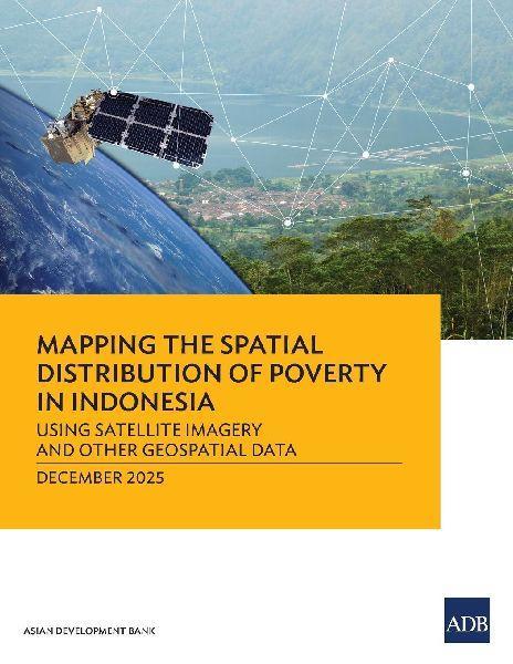
This report shows how Indonesia can combine satellite imagery and geospatial data with machine learning to create maps showing areas of poverty, which could help shape targeted support for vulnerable communities. Based on a collaborative study with Statistics Indonesia (BPS) and World Data Lab, the report shows how Indonesia can develop a grid-like poverty map. Computer vision and machine learning can help identify roads, buildings, and vegetation, and that information can be harnessed to estimate poverty levels. The report details poverty reduction efforts in the diverse archipelago and shows how geospatial data can help improve social protection and resource allocation.
| Themen | Gesellschaft und Sozialwissenschaften Gesellschaft und Kultur, allgemein Soziale und ethische Themen Wohnen und Obdachlosigkeit |
|---|---|
| ISBN | 9789292775643 |
| Sprache | Englisch |
| Erscheinungsdatum | 18.12.2025 |
| Größe | 280 x 216 mm |
| Verlag | Asian Development Bank |
| Lieferzeit | Lieferung in 7-14 Werktagen |
| Herstellerangaben | Anzeigen Libri GmbH Europaallee 1 | D-36244 Bad Hersfeld gpsr@libri.de |
Wie gefällt Ihnen unser Shop?
