GUTSCHEIN
Bitte haben Sie einen Moment Geduld, wir legen Ihr Produkt in den Warenkorb.
Diese Produkte könnten Sie auch interessieren:
Bitte haben Sie einen Moment Geduld, wir legen Ihr Produkt in den Warenkorb.
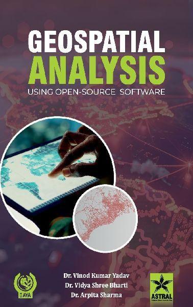
This book was conceptualised for research scholars, fisheries development officers, entrepreneurs, technical experts and fish farmers who have an interest in Remote Sensing and GIS technology. It would also prove Useful to students of geography, geophysics, earth resources management, environmental management, and disaster management. It provides a thorough understanding of the basic principles and techniques of remote sensing, geographic information systems, and their applications. The pedagogy of this book involves a theory and a practical section to provide comprehensive learning and thus provides complete theoretical and practical knowledge about the retrieval of satellite image information, digital image processing, potential fishing zone assessment and mapping through GIS and remote sensing technology. QGIS open-source software is selected for practical exercises. It allows users to analyse and edit spatial information, in addition to composing and exporting graphical maps. QGIS supports raster, vector and mesh layers, and also processes different image processing tasks by using different plugins. This book will serve as USefUI reference material for the readers.
Wie gefällt Ihnen unser Shop?